
THE SOLUTION
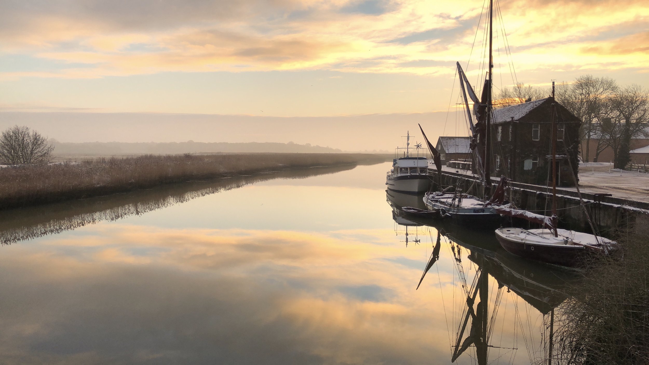
We know the flood defence walls of the Alde and Ore Estuary are in poor condition. The serious flood event of 2013 was caused by an east coast tidal surge. The walls were breached and damaged homes, businesses and wildlife habitats.
This was a 1 in 17-year event which means that there is a nearly 6% probability of something like this happening in any given year. Experts estimate parts of the wall are vulnerable to a 1 in 5-year event, which means that the chances of this happening in any one year are 20%.
The solution is to work in partnership with the local community and the Environment Agency to make our defence walls more resilient.
THE WALL DESIGN
Our goal, as part of the Alde & Ore Estuary Community Partnership Estuary Plan, is to upgrade the walls so they are resilient in the face of growing threats of flooding.
Our work so far has achieved a plan for the whole estuary, approved by the Environment Agency (EA).
We are now working with the local community and the EA on how to secure the funds we need, and the approvals, to proceed with works as soon as we can.
Below are maps of the defences proposed for the Upper Estuary with Lower Estuary maps to follow.


THE PEOPLE WE WORK WITH
-
We are lucky to be able to work with the ESWMB. They are an autonomous and democratically accountable public body that manages the water levels behind the river defence walls, known as internal drainage districts.
We have chosen them because of their expertise and also because they are a non profit Risk Management Authority enabled to present a case for a government grant (Flood and Coastal Erosion Risk Management-Grant in Aid).
We have funded their evaluation options and business case submissions to the Environment Agency.
To learn more about East Suffolk WMB within the Water Management Alliance see www.wlma.org.uk
-
The EA is committed to preserving the best of our environment and a nation resilient to climate change. For more information on the Environment Agency please click here.
-
The AOCP provides a voice for the local community. It involves each parish that borders the rivers with county and district councillors as well as local businesses and the ESWMB. The partnership works closely with the ESWMB and AOET.
-
The AOA is a charity dedicated to taking care of our rivers and landscape today and tomorrow.
Click here to become a member of the AOA.